
Union Hills (W7A/MN125)
02/03/2018
Great hike this morning in north Phoenix as I climbed to activate Union Hills designation W7A/MN-125. Saw another group of hot air balloons taking off just to the north of me as I got my gear ready for the hike. They were predicting high winds and sprinkles but none of that was happening as evidenced by the balloons. I left my heavy jacket in the car this time and put on my pullover that I pack with me instead. It can be folded down when I got to the summit so as not to take up very much space in my backpack.
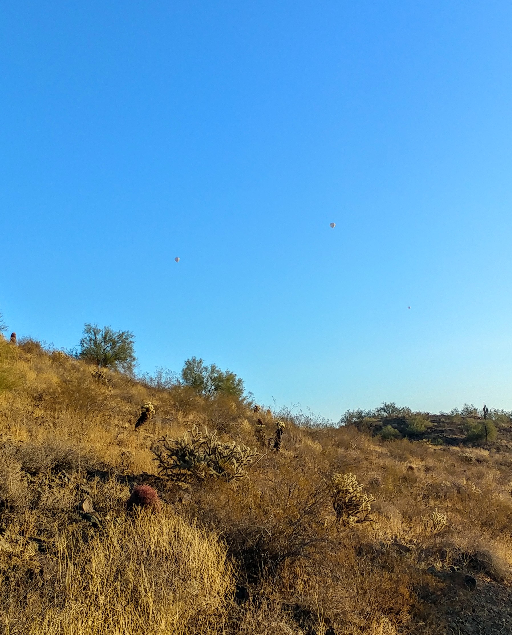
As I came around the corner, I realized that they were closer than I thought as another group took flight. The still cool dry air must have been the perfect combination for them as they took off in the early morning. It was only 8:00 am as I finally made it on the trail and the sun had only been up for less than 30 minutes. I had a long three-mile hike up 700 feet stretched out ahead of me and had to get moving it I was going to make it to the 10:30 am planed activation on the summit.
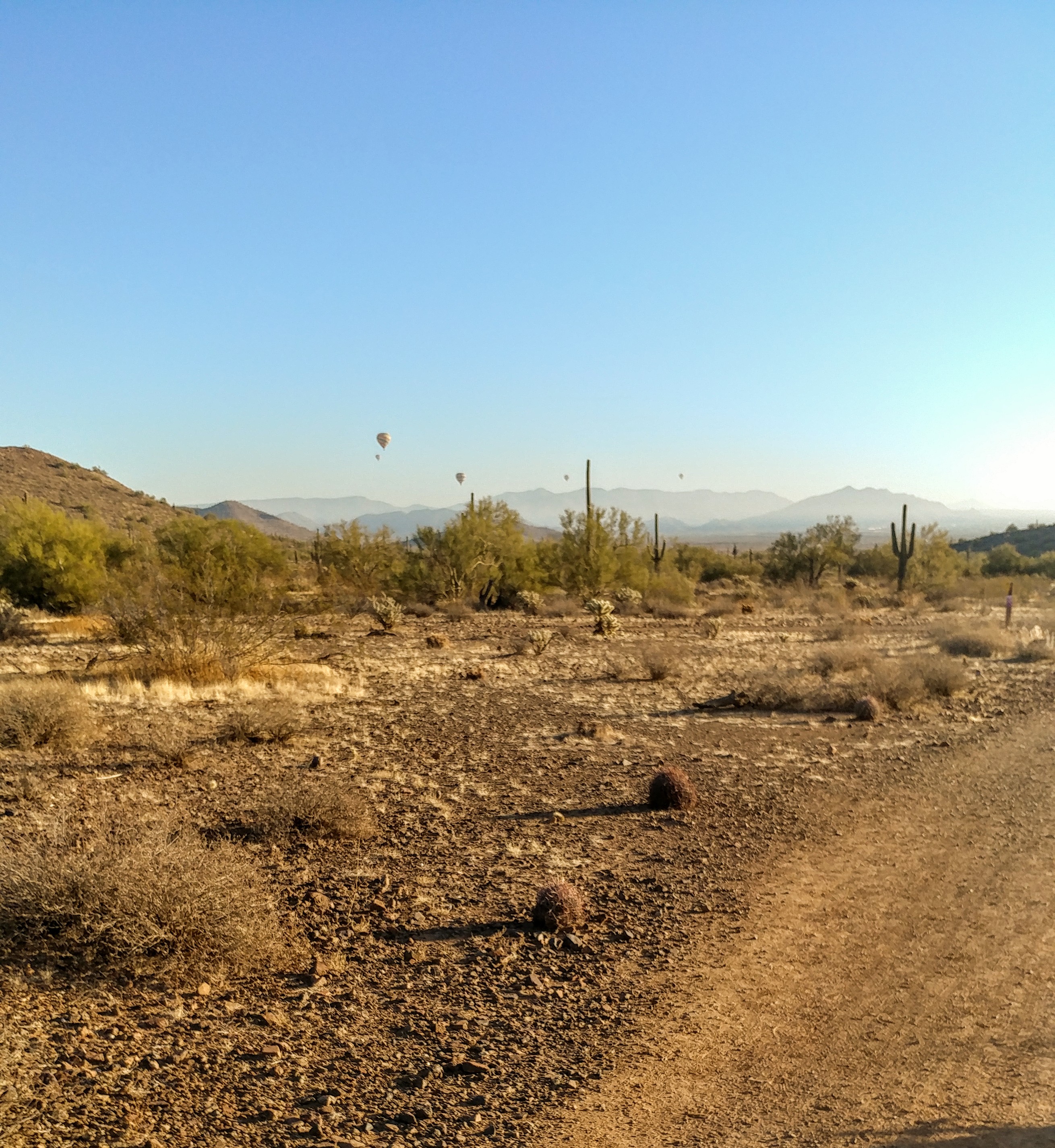
I saw this one kept taking off and landing several times before it got airborne and wondered if they were doing touch and goes. They were the last to take off and I later realized that the ground conditions may not have been the best for taking off. As I’ve said before, I’m not a balloonist but know that when flying airplanes, cool and still conditions make taking off easier. I can only assume that the same applies to balloons as it does for airplanes and this pilot may had had difficulties getting airborne. Eventually, they were able to take off and made off to the southwest along with their friends.
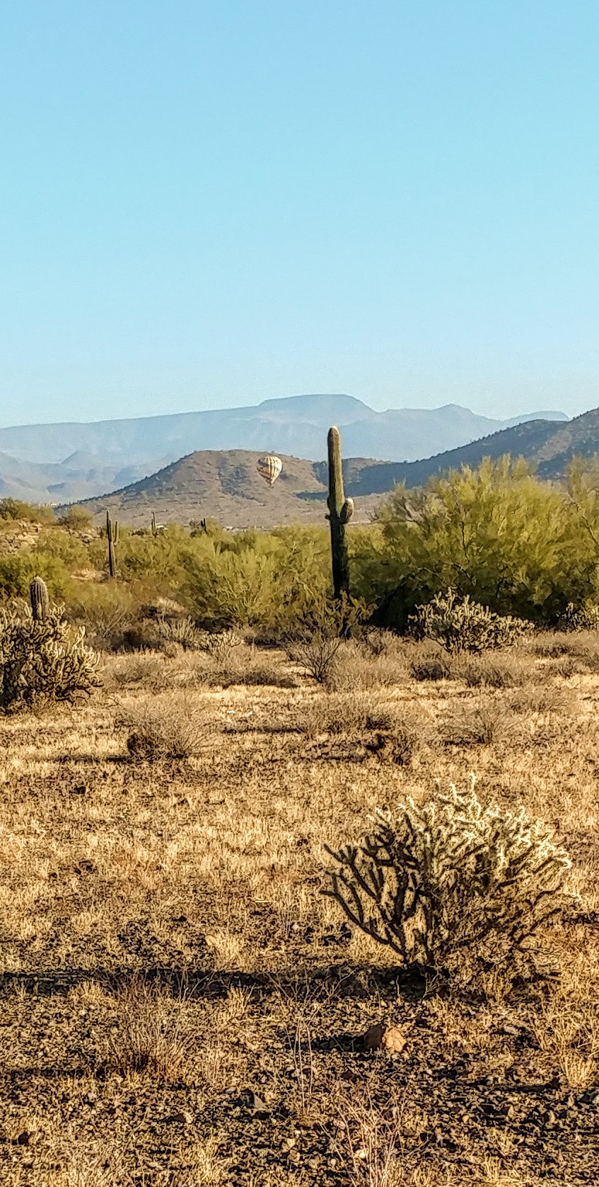
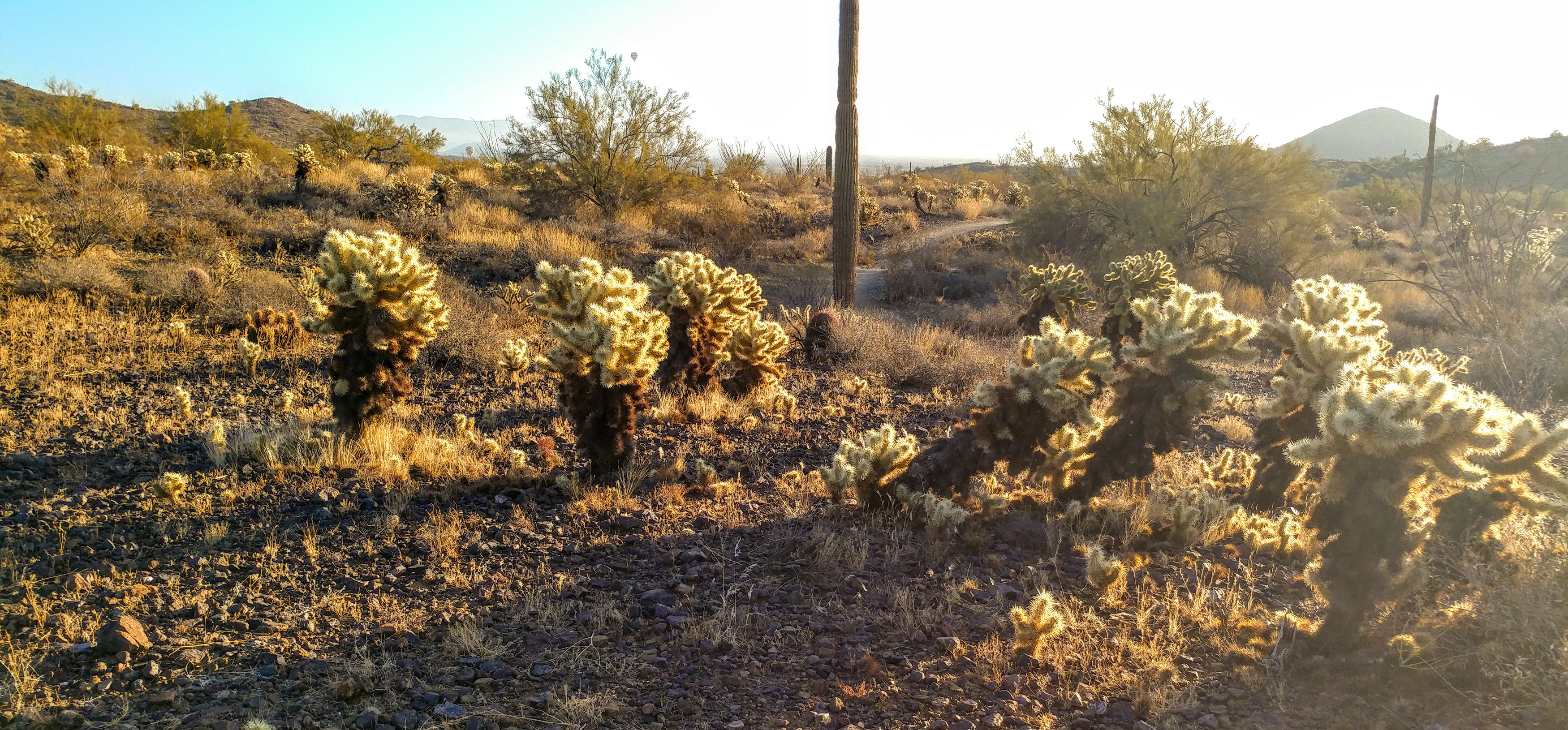
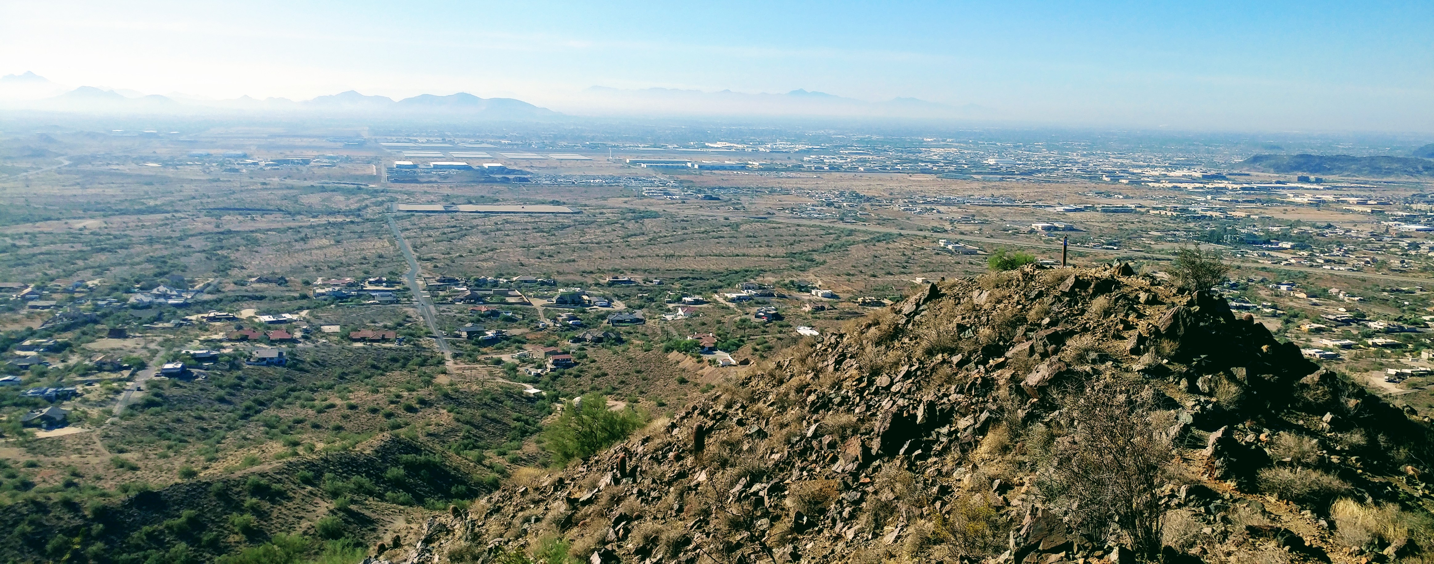
I saw lots of cactus on the hike and along the trail as would be expected in the deserts of Arizona. It was a well-marked trail, though, so they were easy to avoid being clear of any hikers that followed the trails. The trail was much more populated this time as it was in the same park as Dixie Summit was in. I saw several runners winding through the lower trails some going down into the housing developments below us. Several saw my backpack and fishing pole asking what I was doing at which I would explain ham radio and SOTA.
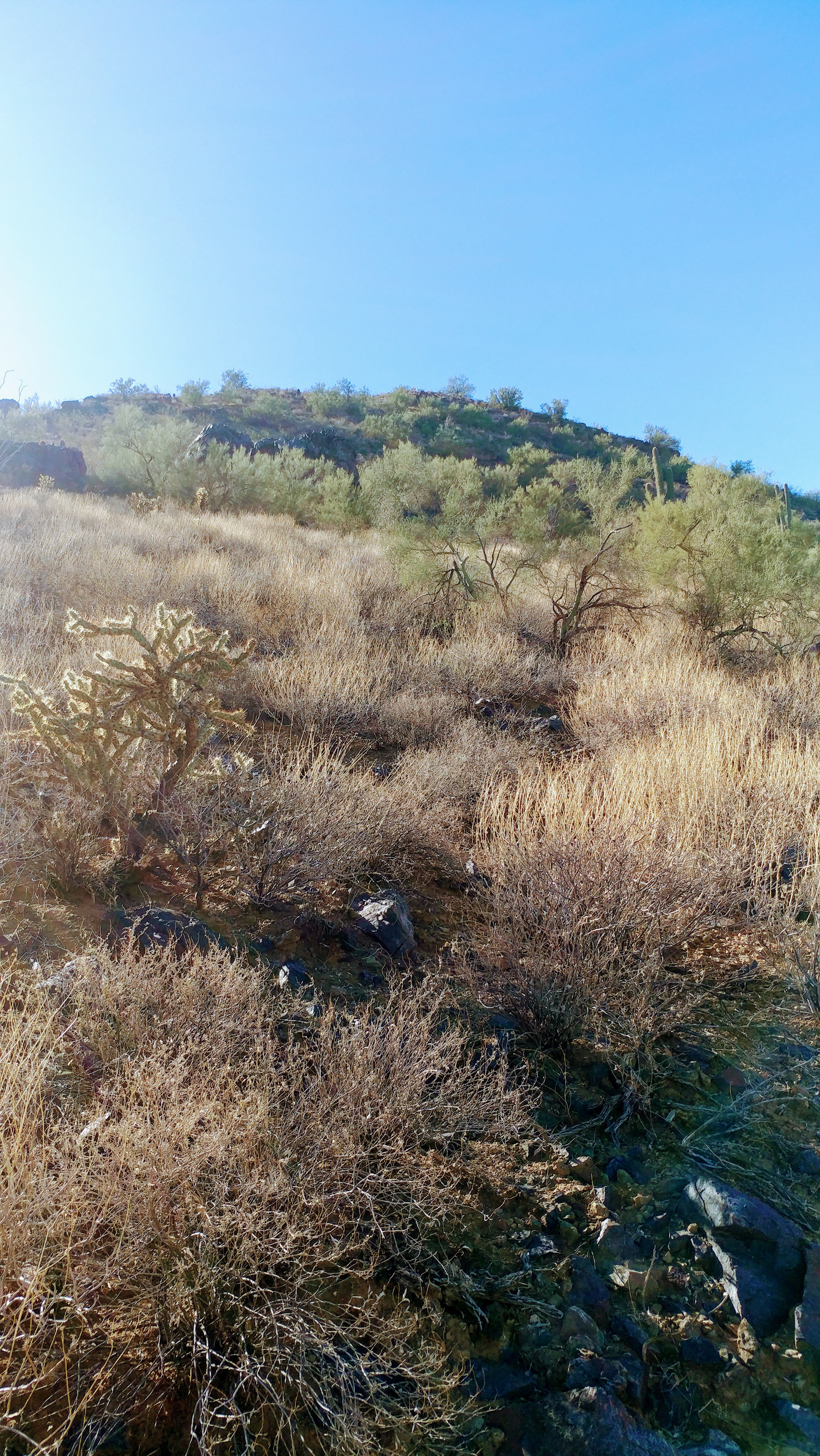
Getting on the Great Owl trail, I saw where I need to go as I looked up the steep slope pointing toward the summit. Now, I just needed to find the trail that would lead me up to the summit where I could set up my camp. I was feeling the elevation on my legs by this time as I had been hiking for almost an hour by this time. I had been pushing myself trying to make the time that I had put down on SotaWatch trying not to be late. What I didn’t know what how hard had had been pushing myself actually arriving earlier than was anticipated.
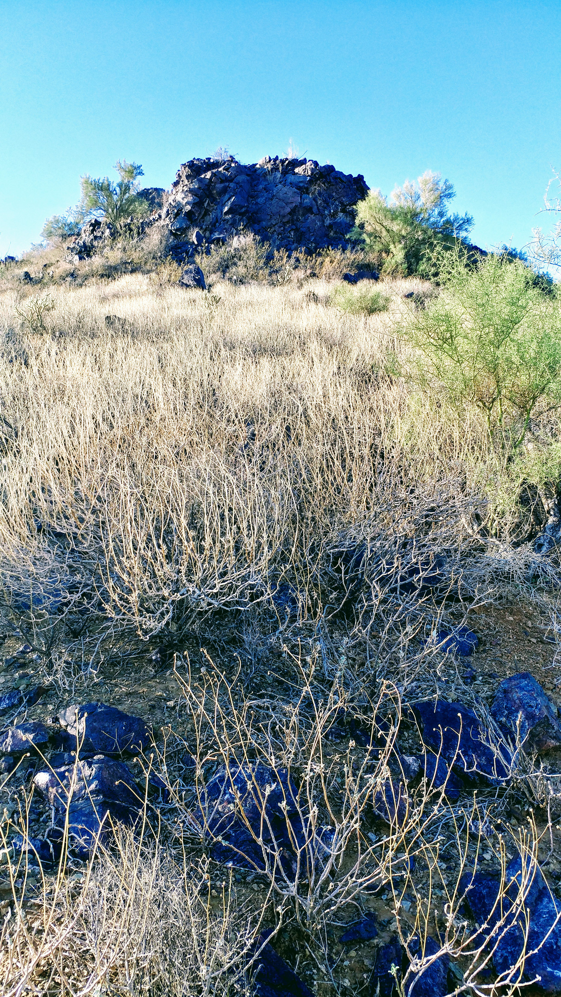
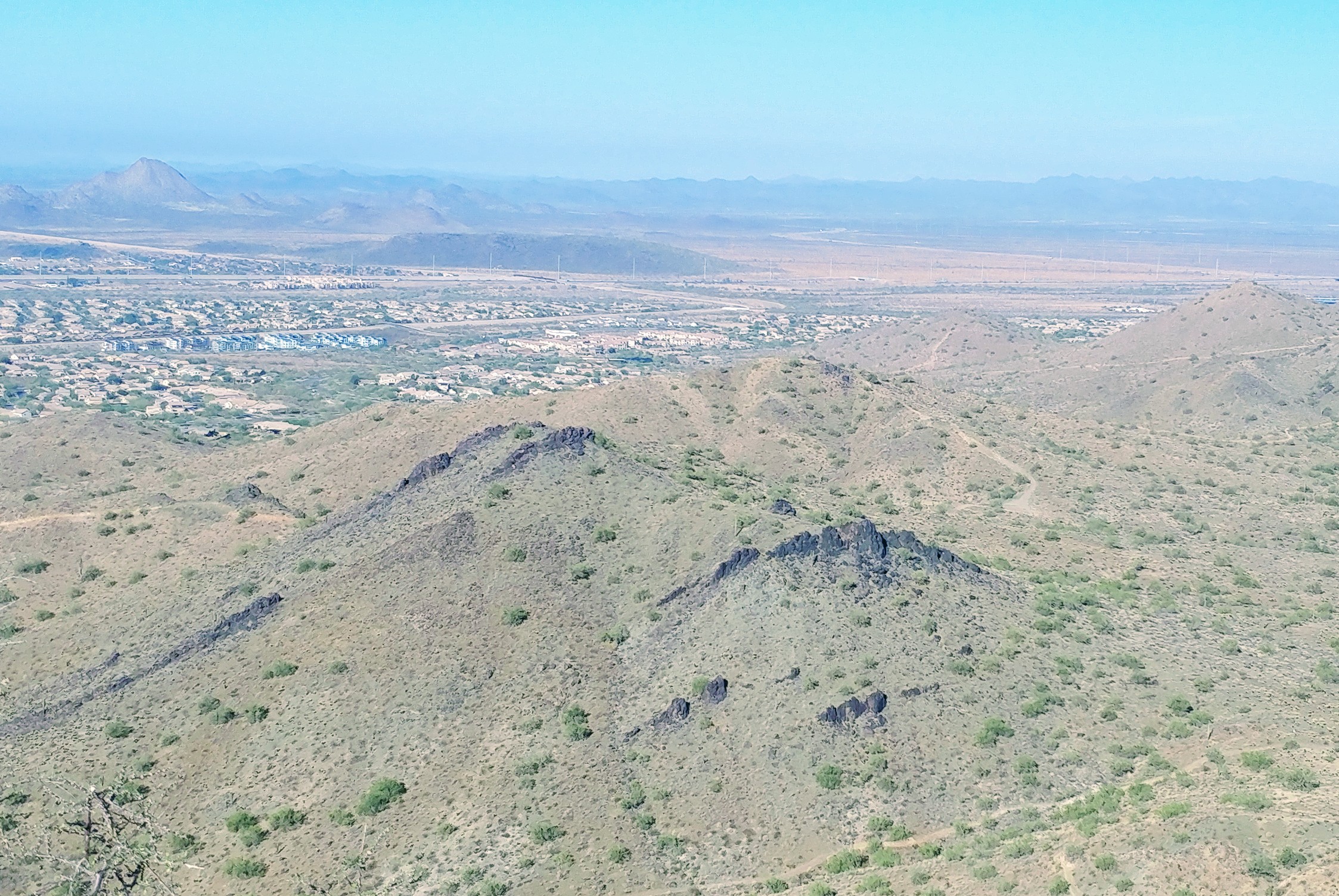
Another angle of the summit and still no sign of the trail as I continued to zig zag my way along the trail. I came across on old snake skin but other than that there was no sign of animal life on the trail this morning. This was supposed to be the Great Owl trail but even the owls were asleep this morning. Someone later had asked if I had seen any snakes and I had told them I only saw their skin because they were streaking. But, I’m glad I didn’t see any because even though I had hiking boots on, I really didn’t want to come face to face with a rattlesnake today.
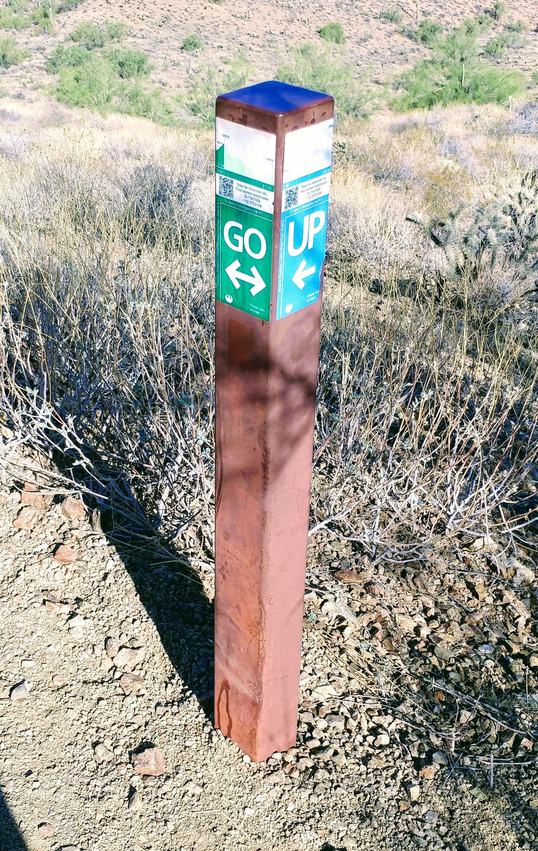
Made it to the marker for Union Pass trail and it was a good thing they have a sign tell me what to do next. I think it was just funny that it said “GO/UP” which was exactly what I was planning on doing. Began my steep climb now with many switchbacks winding my way toward the top of the mountain. According to my calculations, this was a 3-mile hike and the last half mile or so was going to be the toughest. I was hearing the other hams getting on the local frequencies and knew that they were waiting for me spurring me on.
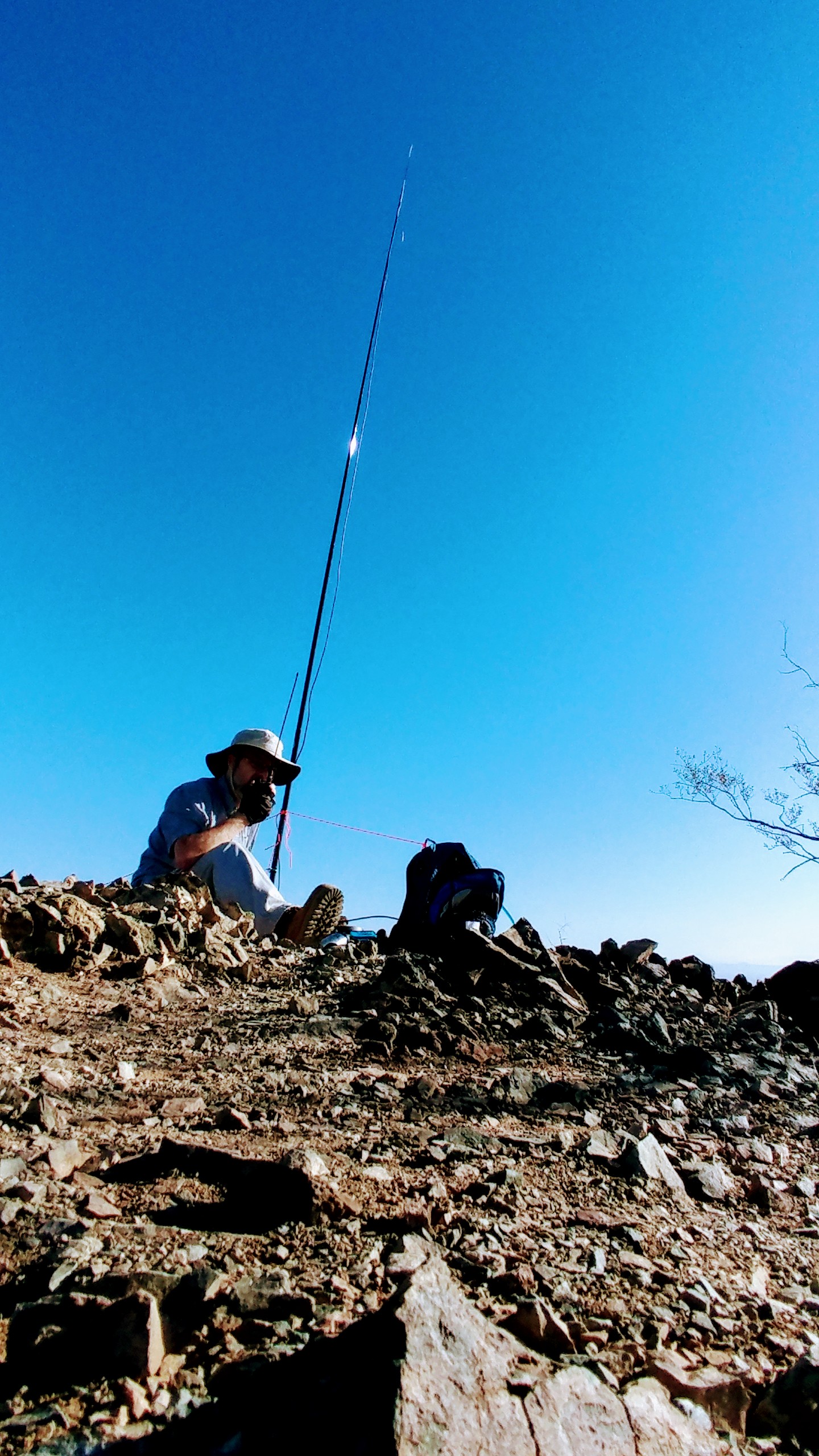
Finally made the summit and set up camp making six contacts on 2 meters on my handheld radio. Fired up the HF rig for 30 meters and made one call when the battery died without anyone answering me. Tom, W7RV, called on my handheld that I had kept on asking if it was still there wondering why I wasn’t on 30 meters. That will teach me for not charging my radio the night before I go on a hike. At least I made at least my required four contacts so I can get the points for the summit and not have wasted and entire morning.
The view from up top was fantastic despite the haze that hung in the air like some specter of death. I could feel it in my throat and was drinking trying to wash the grit out of the back of my mouth and teeth. That is one thing about having a park like this in the middle of a large metropolis like Phoenix. The traffic and dust that is ever present in the air clings to everything and will irritate allergies whenever it’s present. Add my allergies to sage that I already had, I ended up hiking with a tissue in my pocket stopping every few minutes to blow my nose.
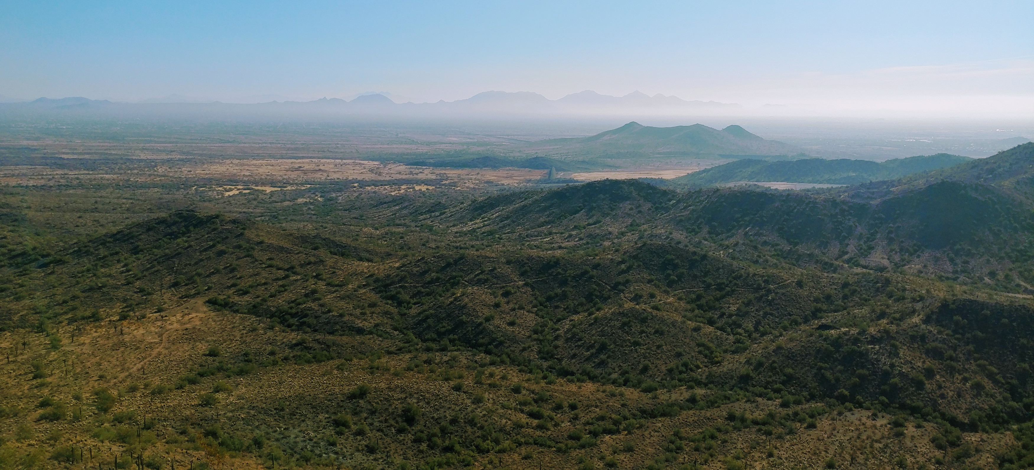
Normally, I can make out the Superstation Mountains better than can be seen in this picture. In fact, before I worked on this image back home, I couldn’t even notice them in the picture focusing on the green below instead. I had to use a lot of post-production to get them to come out this good and was actually pleased with the result. They appeared to be rising out the mists like the giants of mythology riding on clouds beneath them. The effect was almost surreal and it’s one of my favorite pictures from this hike and maybe even all of them.
Air quality wasn’t the best but still had a good hike, if you are interested in trying to chase me next time, I’ll be activating Shaw Butte on 3/3/18. (That’s 3/3 18 for those countries that switch the day and the month) I’ll be on 144.410 MHz FM simplex for local, 10.112 MHz CW, and 14.285 SSB. I’ll start my hike around sunrise and hit the summit about 90 minutes later. You can also follow me on APRS at aprs.fi and look up my call sign. I hope to catch you then.
73, AF7OS