
Stoney Mountain, aka Peak 51
04/14/2018
Getting up an hour and a half before sunrise, the drive to Peak 51, also referred as Stoney Mountain, was a stark contrast to the normal morning commute. The Dreamy Draw Recreational Area, even though never visited before, proved itself as a pleasant surprise after parking and seeing the facilities. There are several neighborhood that could be used as temporary parking for the hike, this location proved ideal having an abundance of parking and additional facilities. Covered picnic benches and volleyball courts allowed families activities as the bathroom would help elevate needs from the early morning coffee.
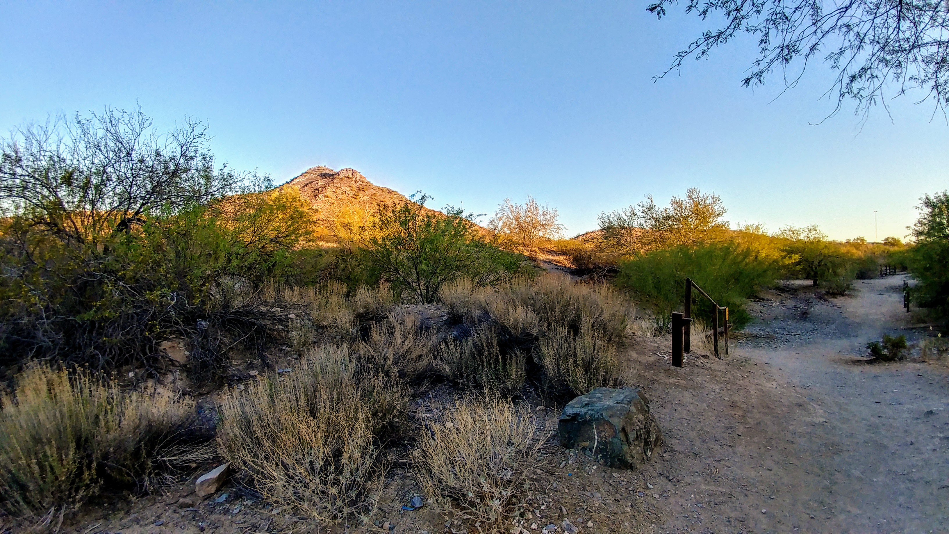
The sun was just beginning to rise reflecting off the distant mountains as the path passed through a tunnel under the freeway opened up to the desert vista. There were very few hikers on the trail at this time with a clear signpost on the trail indicating where Trail 100 began. Turning to make sure there would be no confusion getting back to parking, the sun crept over the hills giving a breathtaking sight. Making sure to stay to the east loop, the wide trail would be easy enough to spot on the way back after a long day of hiking to reach the summit.
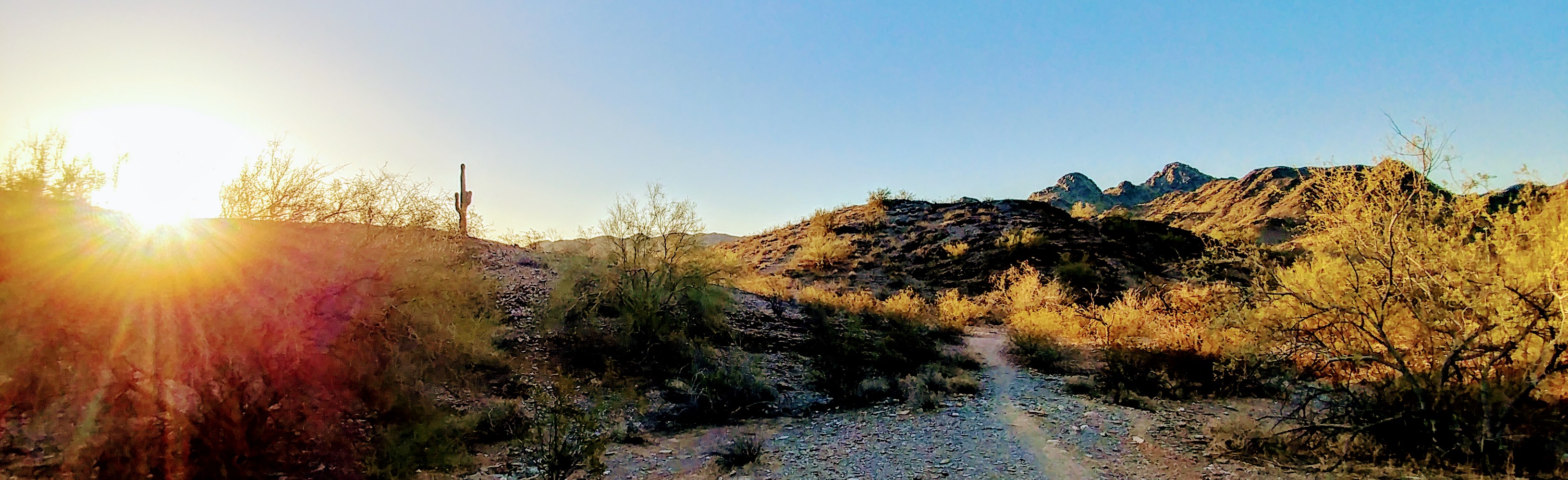
Off into the distance, the southern peak of Stoney Mountain could just be seen peeking through another pass. This would be almost a two mile hike to reach the summit, not as long as other taken but enough to keep a reasonable pace. The trail would lead around the entire mountain with several false and more difficult trails along the way. The plan was to approach the summit from the northeast where Trail 100 formes a T and follow the ridge line up. This sounded simple enough and the well marked trail indicated it should work but would not be so simple further up the trail to the summit as thought.
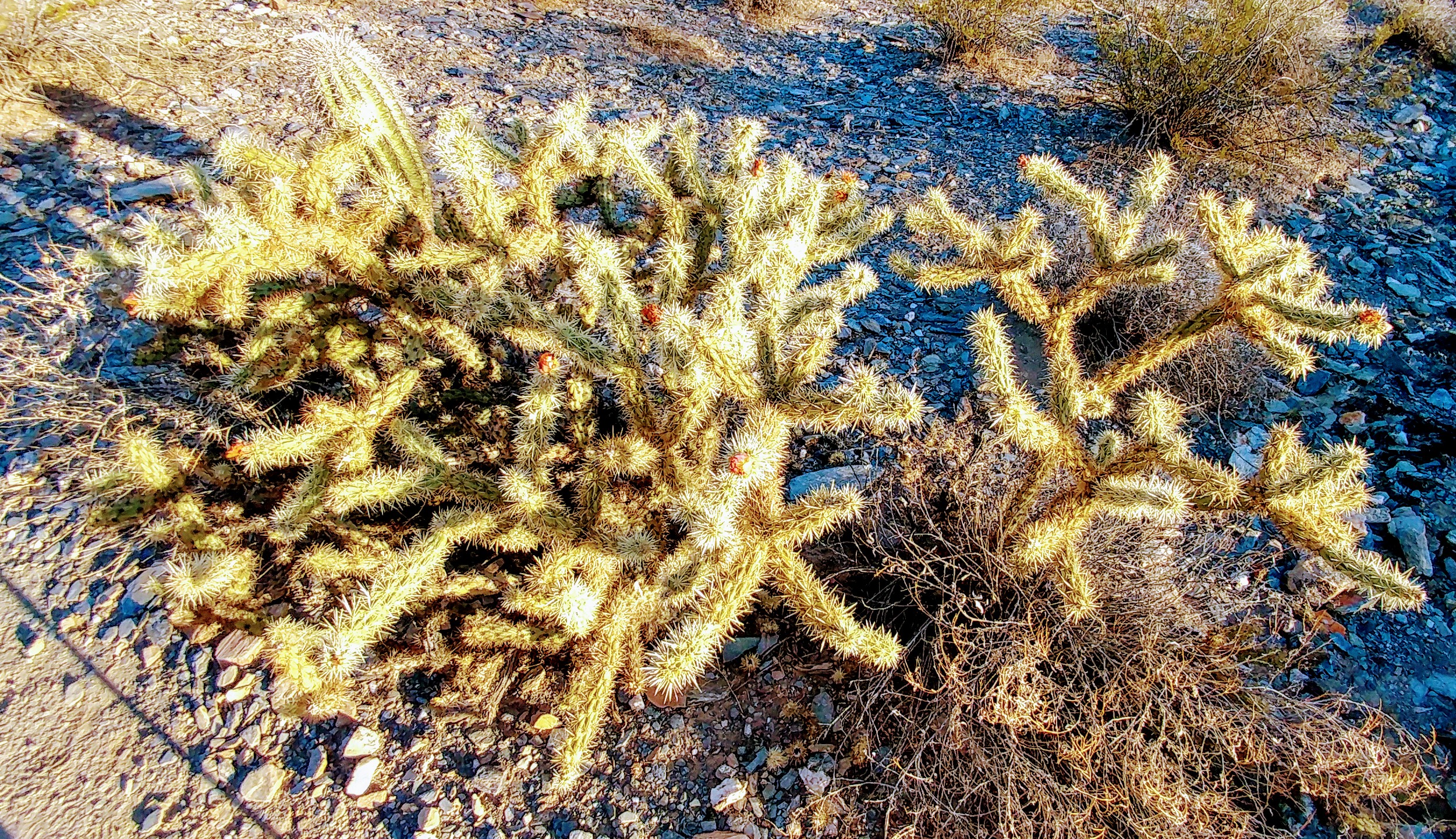
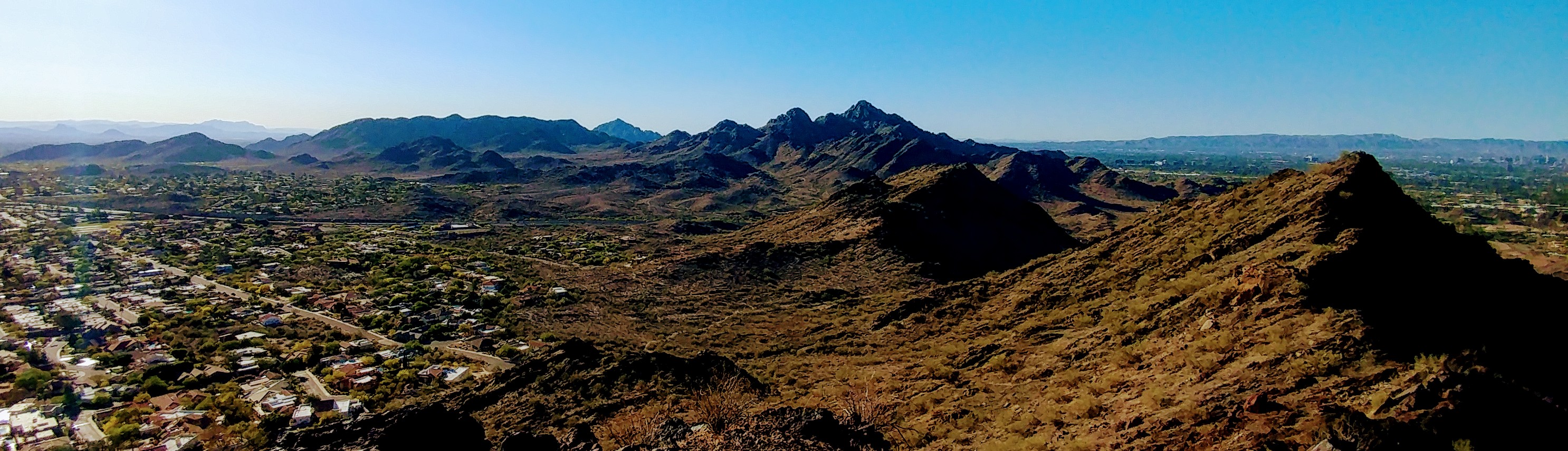
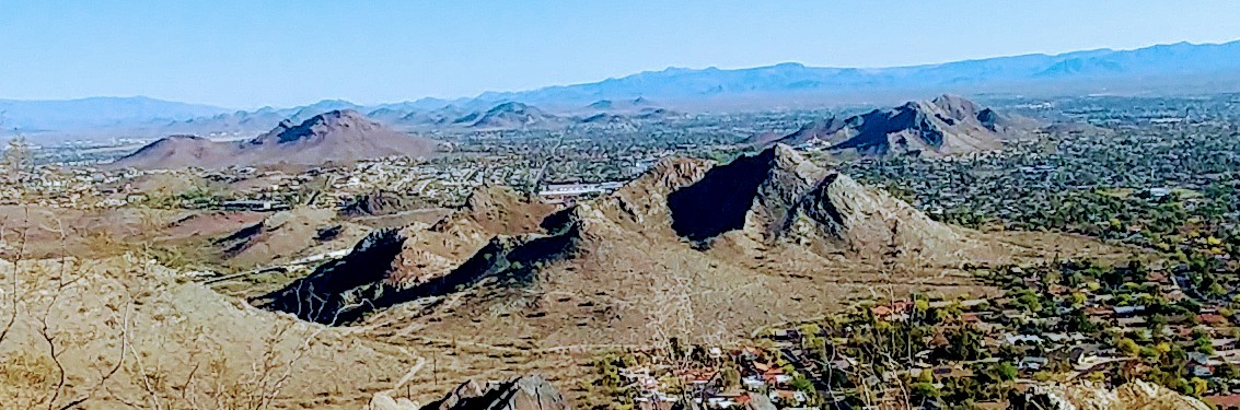
Coming around the southern group of mountains, Stoney Mountain finally revealed itself with the black peak in the middle seen in the picture. The trail that followed along the ridge line could be seen in places at this point calming anxiety from earlier research on Google Maps. Expensive homes with turrets and spiral staircases leading up followed the path that seemed to skirt right next to them at times. Cactus with their red fruit lined the path adding to the desert beauty that filled the landscape.
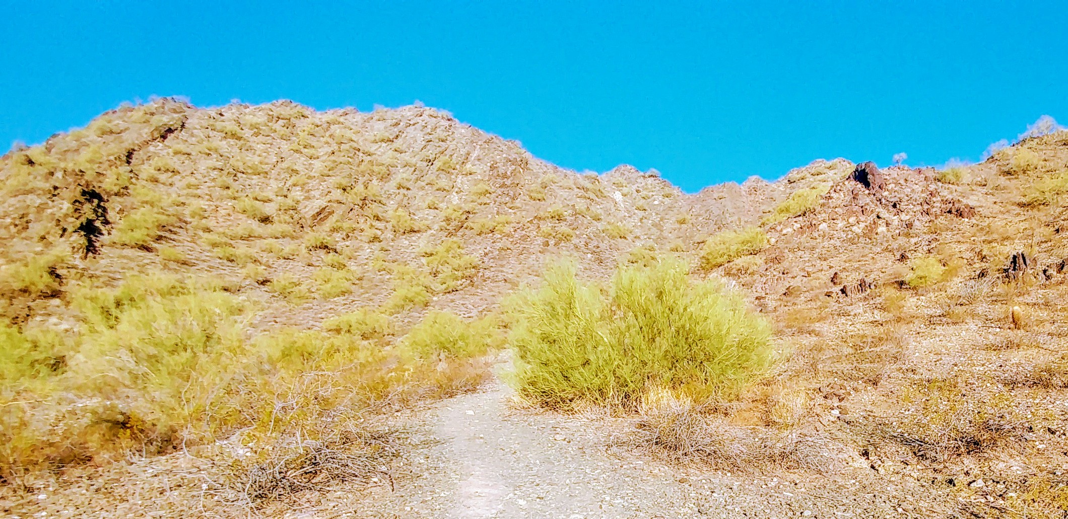
A “short-cut” led off from the main trail around 23rd street and temporarily led this hiker astray until it was discovered that it went the wrong way. This trail had been examined earlier but the terrain further up and especially near the ridge would become extremely rocky. The path already picked out would need a “boulder scramble” to reach the summit and adding more was not a really needed.
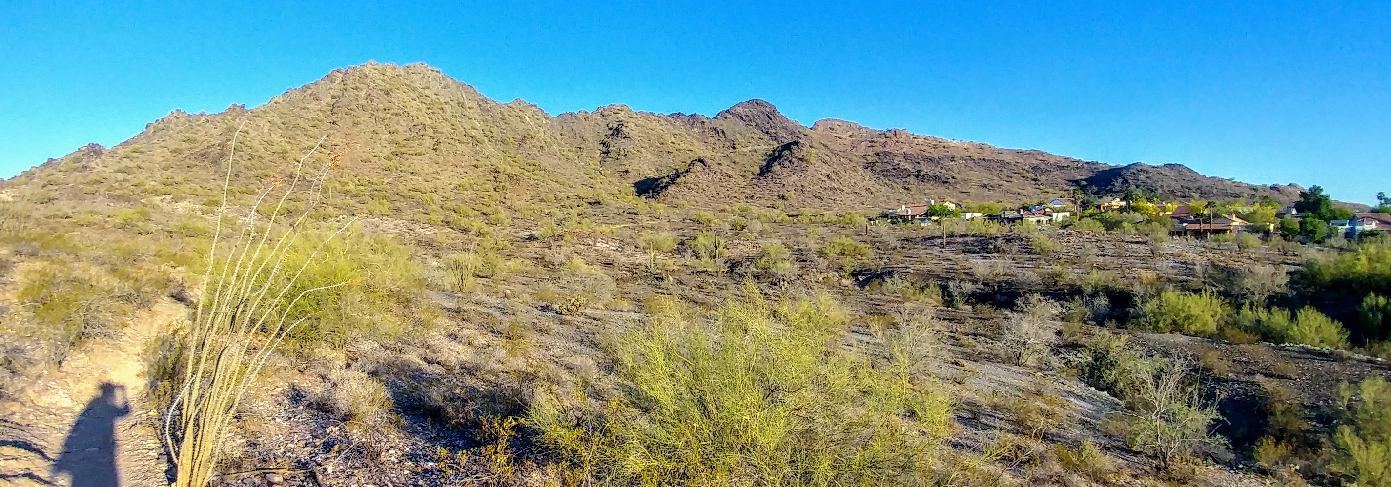
Several hikers and runners were now appearing on the trail as the summit trail came into view just as predicted. This trail was not as well defined as Trail 100 but still proved to be marked out enough to make it up and along the ridge line. However, once the rocks became more prominent, the trail was not and eventually wound up on the north side of Stoney Mountain. There was no longer any tail to follow and instead was forced to crawl over boulders making carefully toward the summit. Eventually, the trail was spotted and, after making it over the last ten feet of boulders, the summit was made.
The cold brisk morning that had required a sweatshirt in the parking lot was now replaced with a stiff wind. The weather radio this morning had predicted breezy conditions but this was more of a gale than a breeze. Sweatshirt off and packed away, the entire hike up took only an hour and forty-five minutes, much less than the two and a half predicted. This gave plenty of time to take in the view and set up base before other hams would begin listening in about forty-five minutes.
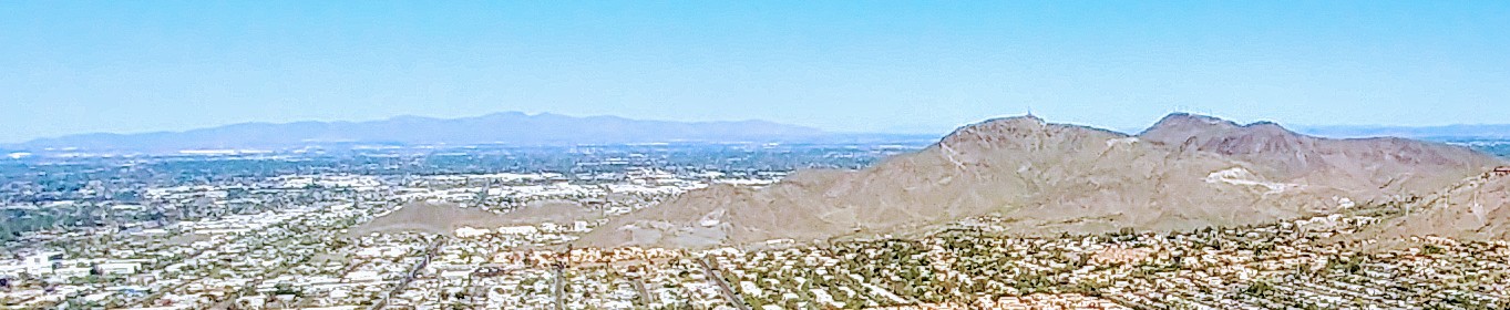
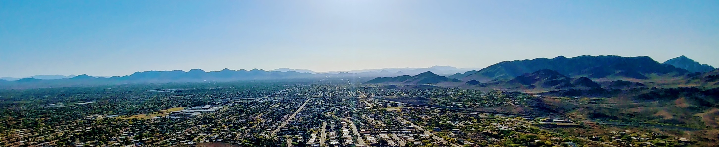
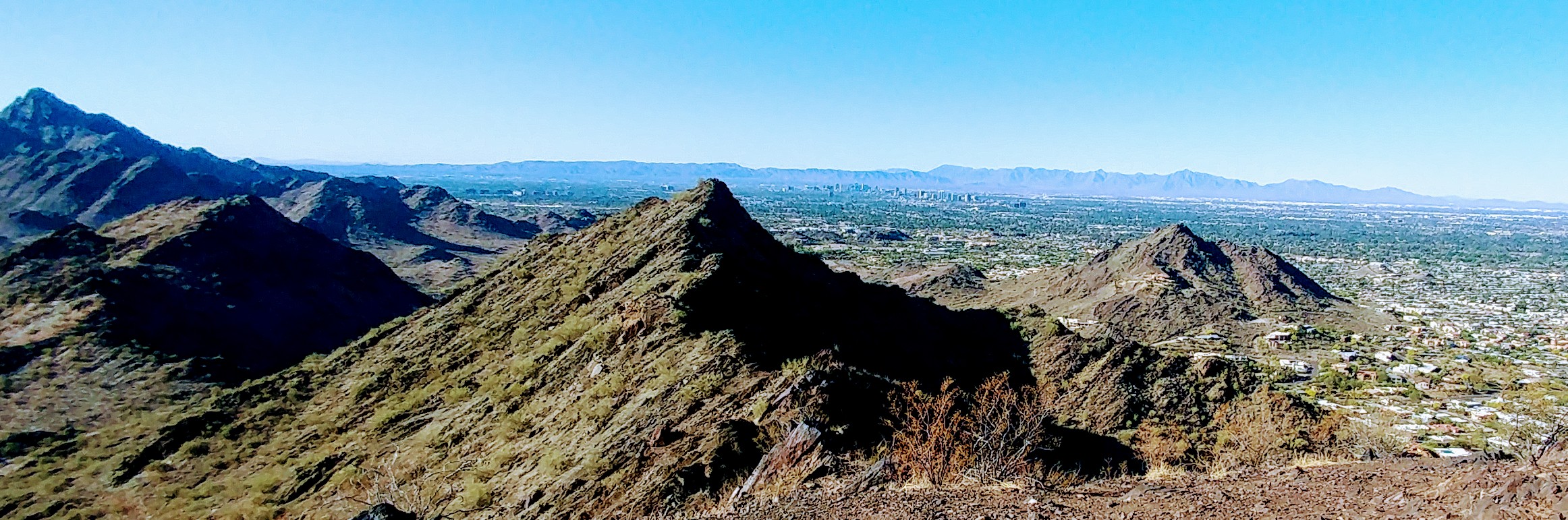
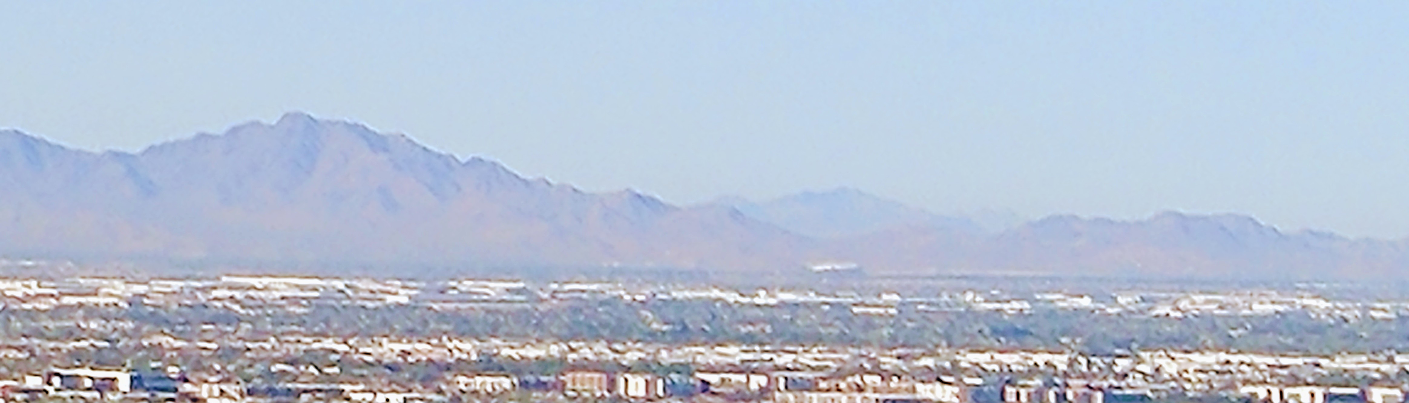
Off to the west could be seen Shaw Butte with White Tank Mountains off in the distance blue from haze blown up from yesterday’s winds. To the south could be seen Piestewa Peak with Camelback Mountain peaking around it. Off to the east was Superstition Mountains with Four-Peaks and McDowell Mountains in front of them. To the north lay Lookout Mountain and North Mountain while off into the distance could be seen South Mountains behind the Phoenix skyline. Using the camera as a telescope, off in the distance could just be made out Grand Canyon University campus.
The obligatory selfie shows just how strong the winds were at the summit making it difficult operating normally. The antenna mast which usually extends sixteen and a half feet couldn’t be extended more than the first section. Extending the mast to the entire length caused the entire thing to fall over twice due to the strong winds. Some of the gusts where so strong that it made it difficult to stand without being blown over.
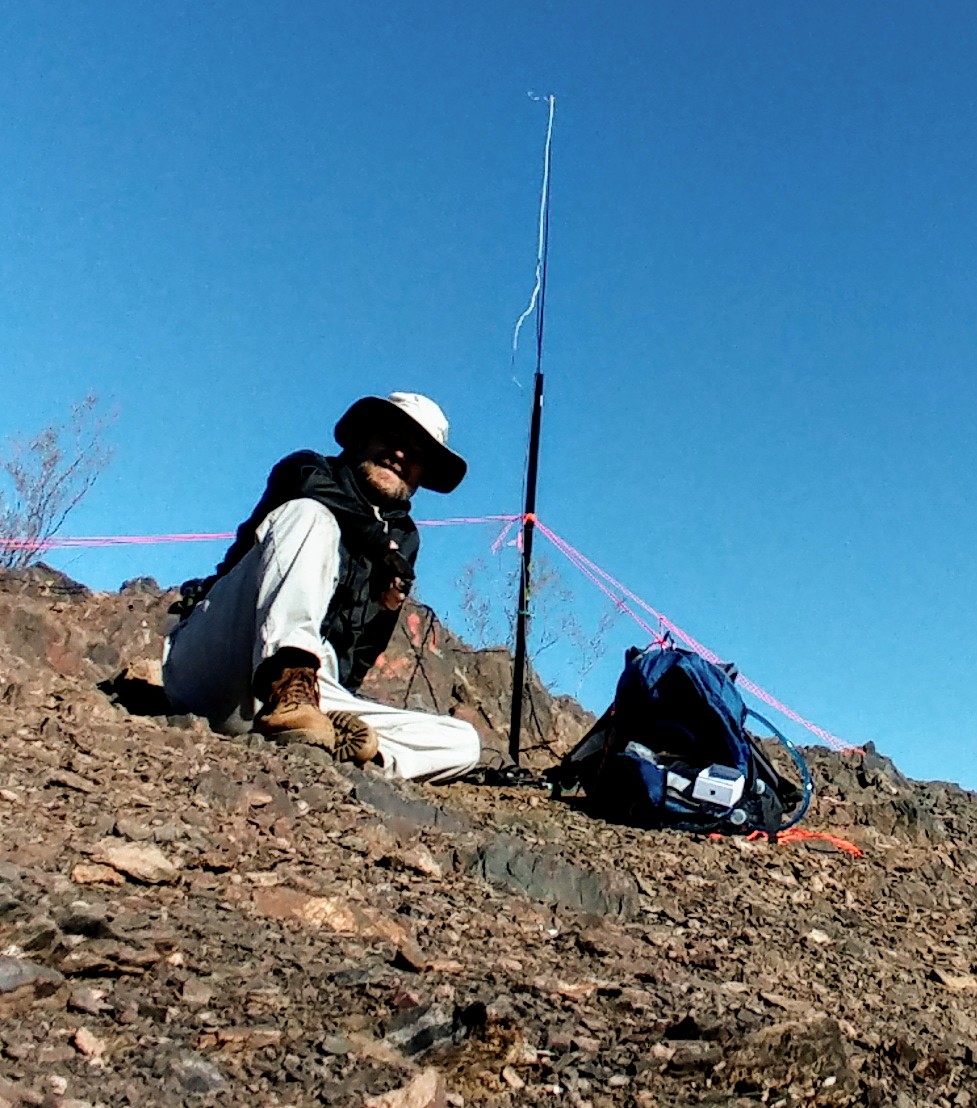
There was also a Hamfest this weekend with very few voices on the radio. Normally, it’s not unusual to hear a dozen or so guys talking about other bands and their conditions. Today, only two local hams were able to be found and both were operating mobile. Unable to extend the mast to the entire height, the HF antenna was simply flung over the side of the mountain. This degraded the usefulness of the antenna making most of the RF energy straight up instead of out. Never the less, three more hams were found on CW with two in Oregon and one in San Francisco, California.
Going down the mountain, knowing now where the true trail was, proved uneventful except for a few more hikers on the trail. This was an activation that could have only been improved by better band conditions and more local hams on the air. Lessons learned this hike is, perhaps, find a better way to secure the mast. One idea is to leave it connected to the backpack as a footing and tie off the third rope to another rock. The strong gusts would kick the foot out from the antenna causing it to topple over pulling the backpack which it was tied to along with it.
This was a good hike and one that will need to be repeated in the future possibly with other hams that want to learn about SOTA.